
We are told that fracking creates a much smaller environmental footprint than conventional extraction methods. That by drilling multiple wells on each pad, we are actually reducing the impact on our landscape. Take this short tour, and then tell us…what do you think?
Oh, but maybe Canada is different, you say? Yes…you are right. It is. Well…sort of. Here is a Google satellite view of Swan Hills, Alberta. Click on the image to go to the location on Google Maps and you can zoom in. Now that you know what you are looking for (that telltale network of roads, pipelines and rectangular well pads) follow Route 32 south to Whitecourt. Then follow the Athabasca River west and south. Then flip on over to Grand Prairie and follow the Wapiti River southwest or Route 40 south.
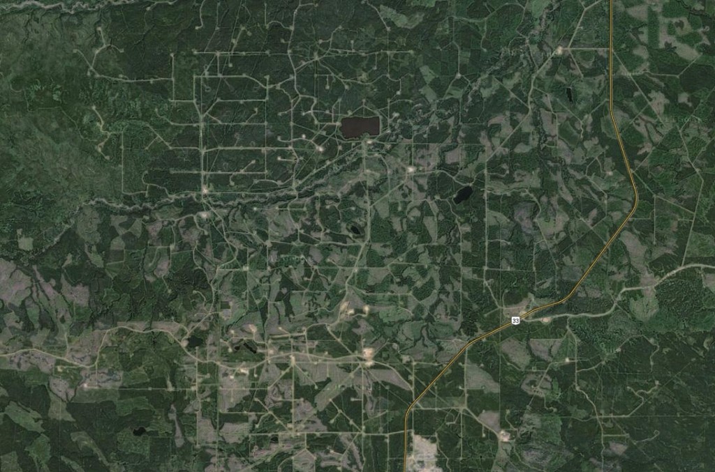 Using Google. Skytruth has time-lapsed this area to show the human impacts of logging and fracking over a decade. The Canadian Association of Petroleum Producers (CAPP), the industry’s big lobby group, recently claimed on its website that oil sands companies will “return the land including reclaiming tailings ponds–to a sustainable landscape that is equal to or better than how we found it.” So far, only 104 hectares have been certified as reclaimed. Will it be any different elsewhere?
What do you think New Brunswick will look like ten years from now?
Timelapse – Canada Logging and Fracking from SkyTruth on Vimeo.